


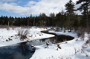
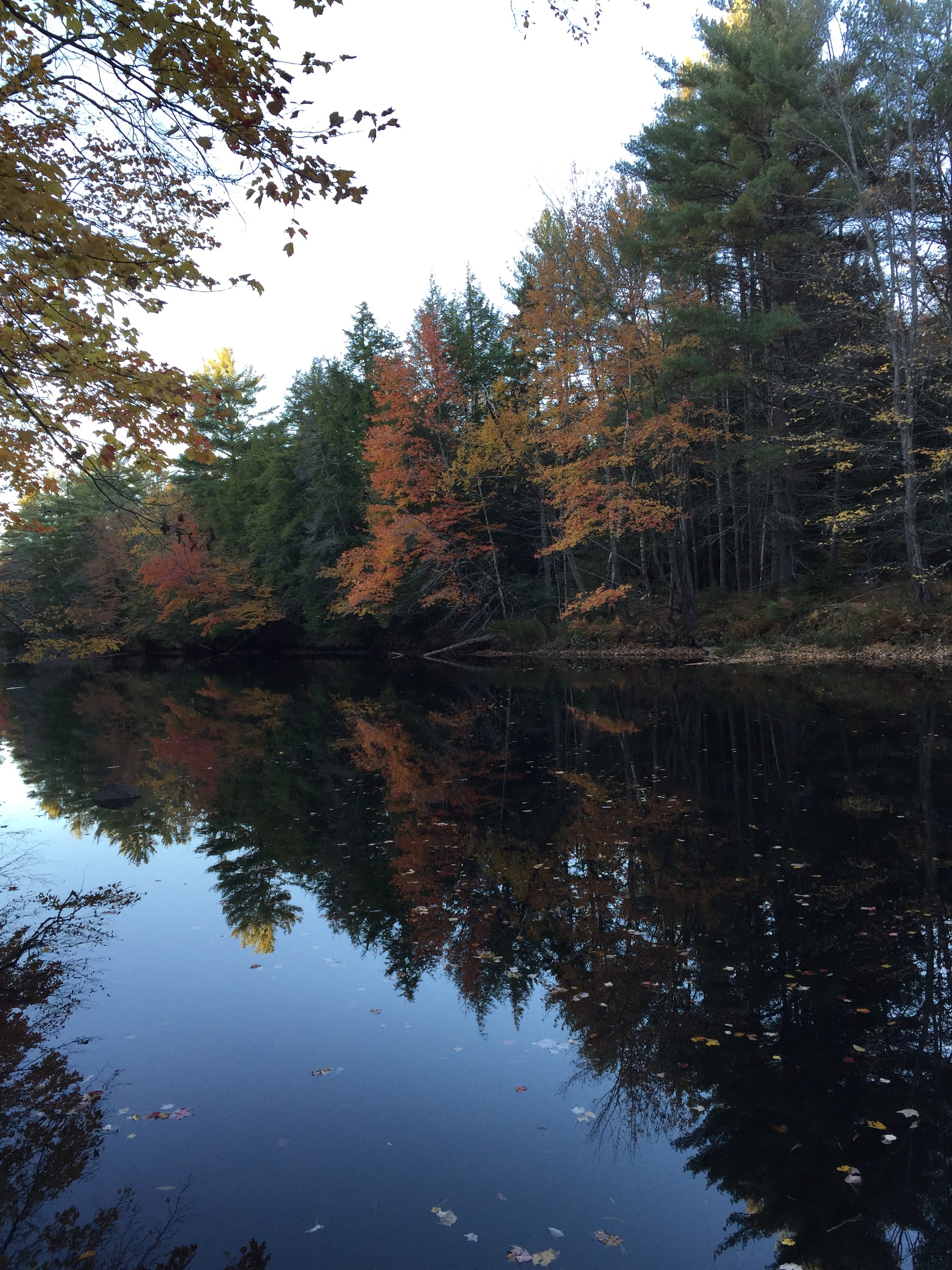
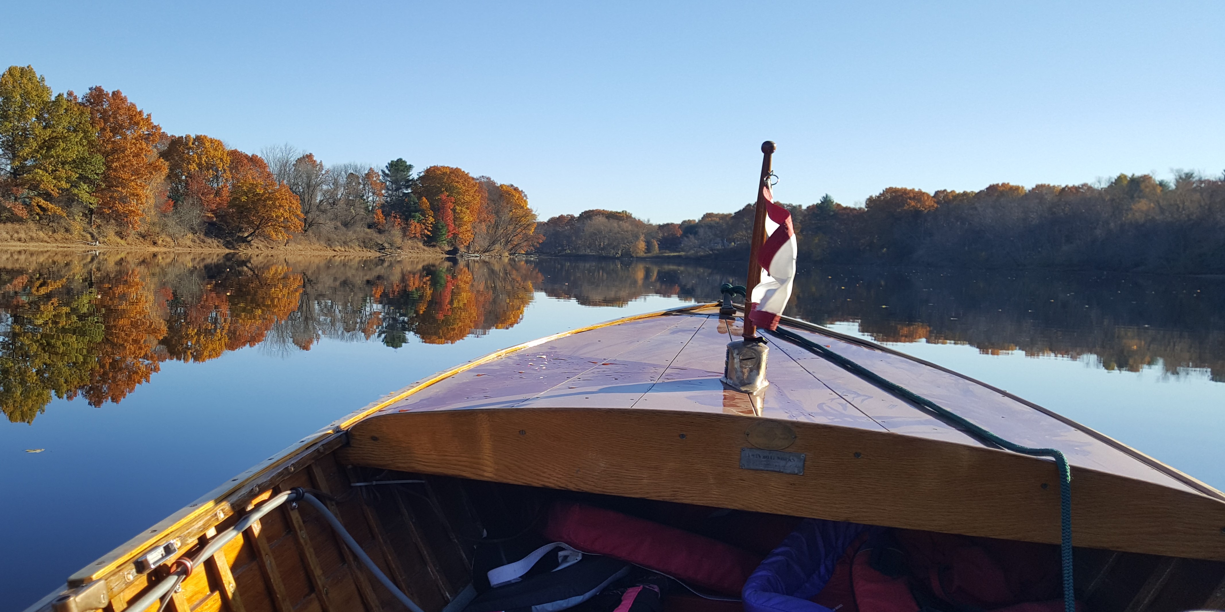
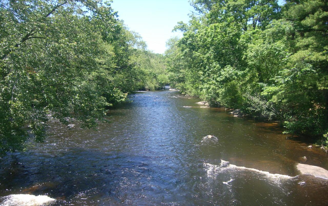
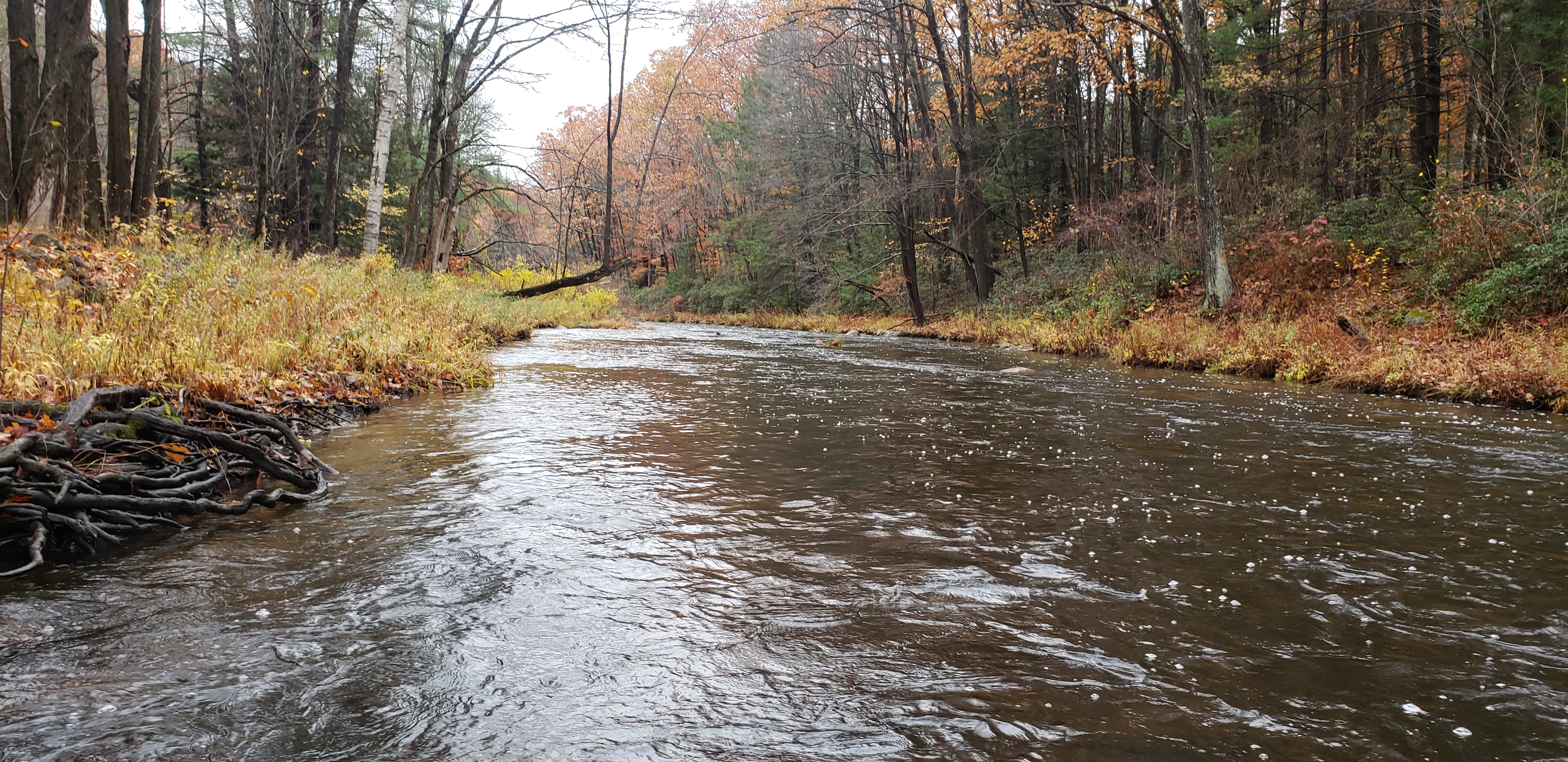
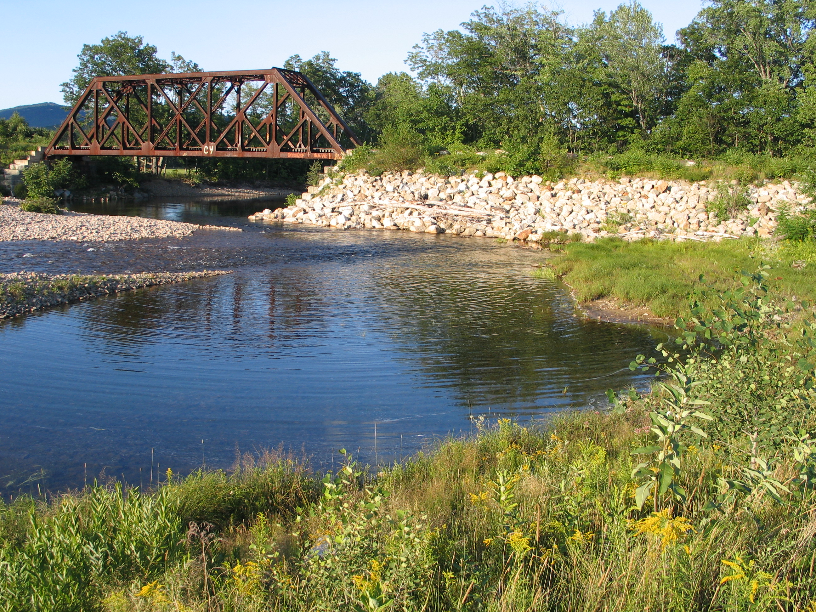
Rivers Management and Protection
The Rivers Program protects New Hampshire’s designated rivers for their outstanding natural and cultural resources.
The Rivers Management and Protection Program (RMPP) is based on a unique cooperative approach: State designation of significant rivers to manage and protect the river’s values and characteristics combined with local development of river corridor management plans for shorelines and adjacent lands to protect river resources.
Each designated river has a local advisory committee
Local River Management Advisory Committees (LACs) are the key to the local river management role for each designated river. Each committee plays a vital role in protecting the river and its shorelands. LAC members are nominated by their municipality and appointed by the Rivers Management Advisory Committee (RMAC). Members represent a broad range of interests and backgrounds including local government, riparian landowners, business, conservation and recreation. For more information about the LACs, please visit the Local River Advisory Committee Forum.
Rivers Management Advisory Committee
The Rivers Management Advisory Committee (RMAC) advises NHDES on river-related issues. The RMAC has 17 members representing public water suppliers, municipal officials, business and industry, hydropower, conservation commissions, conservation interests, fish and game commission, recreation interests, historical/archeological interests, local river management advisory committees, agriculture, and state agencies. The RMAC provides a forum for exchanging technical assistance and input on state legislation related to rivers and streams, making recommendations to the NHDES Commissioner and state legislators.
Think a river or river segment should be protected?
Any river or river segment in New Hampshire may be nominated for designation into the RMPP by a citizen or organization of the state. Sponsors submit a river nomination form describing the river's values and characteristics to the NHDES Commissioner for review and approval. Each river nomination is then evaluated by the legislature and the governor to ensure that the river's designation would be consistent with the purposes of the Rivers Management and Protection Act. Each designated river is protected and managed to maintain and enhance instream river values such as water quality and instream flows.
Designated River Corridor Mapper
This interactive web map allows users to determine whether a location falls within the ¼ mile corridor of a New Hampshire designated river.
RMPP Forms
Related Content
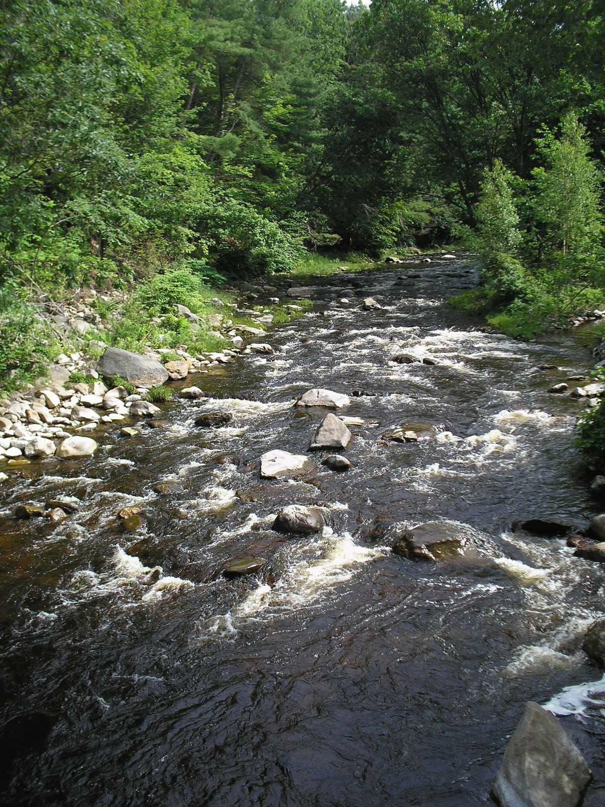
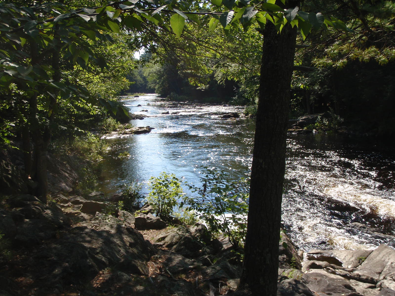
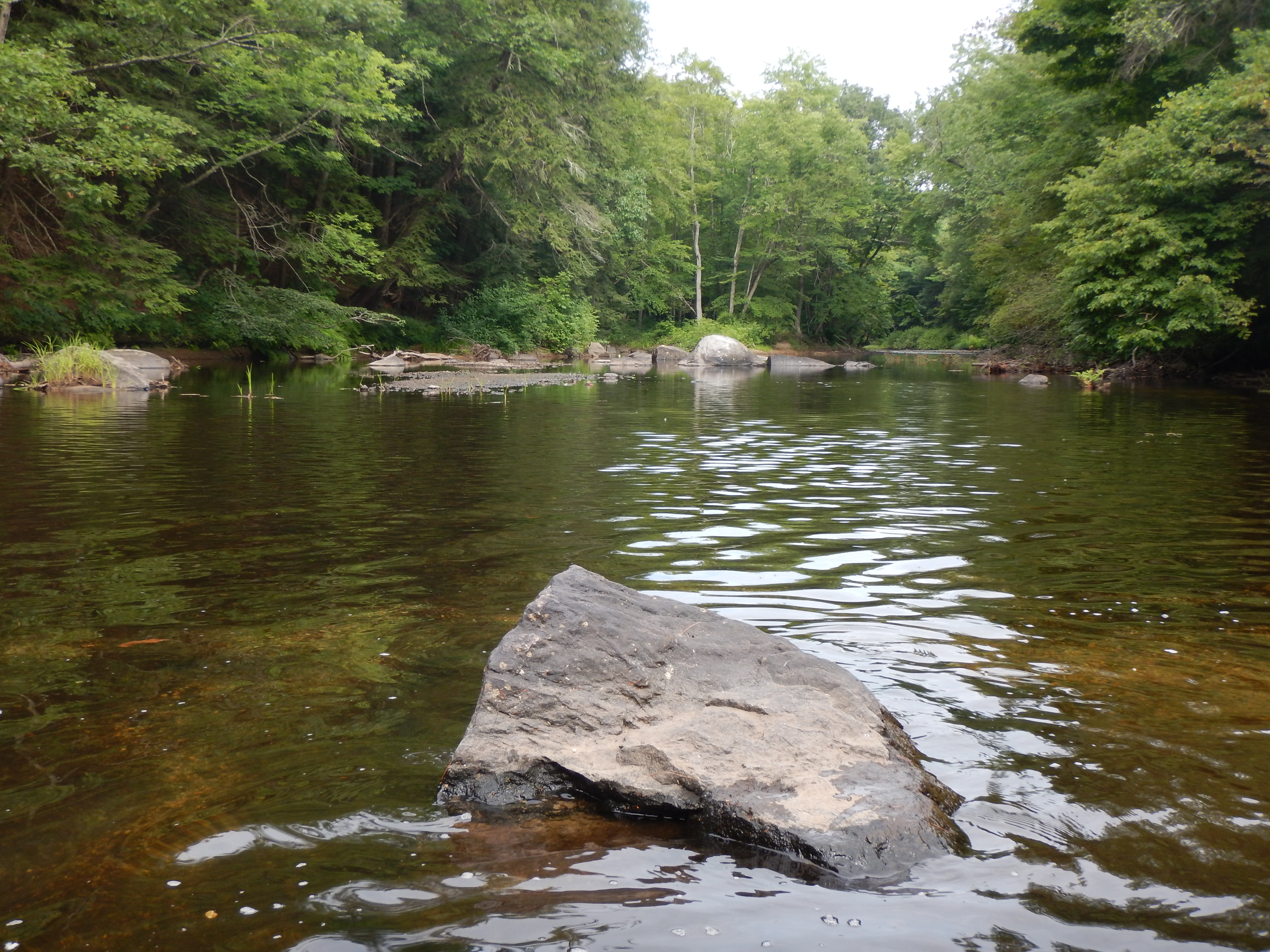
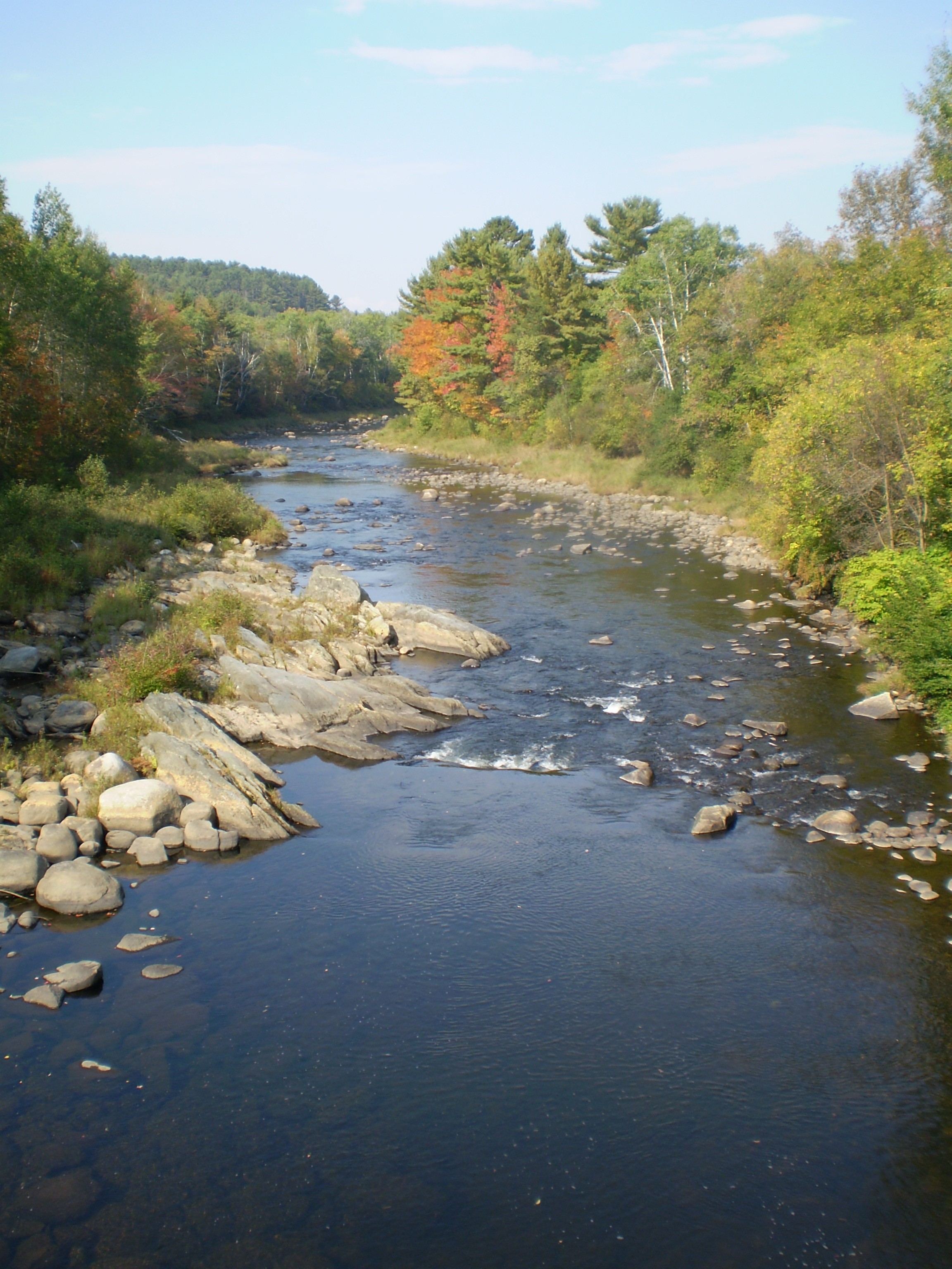
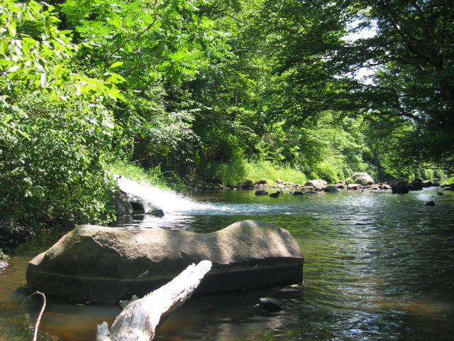
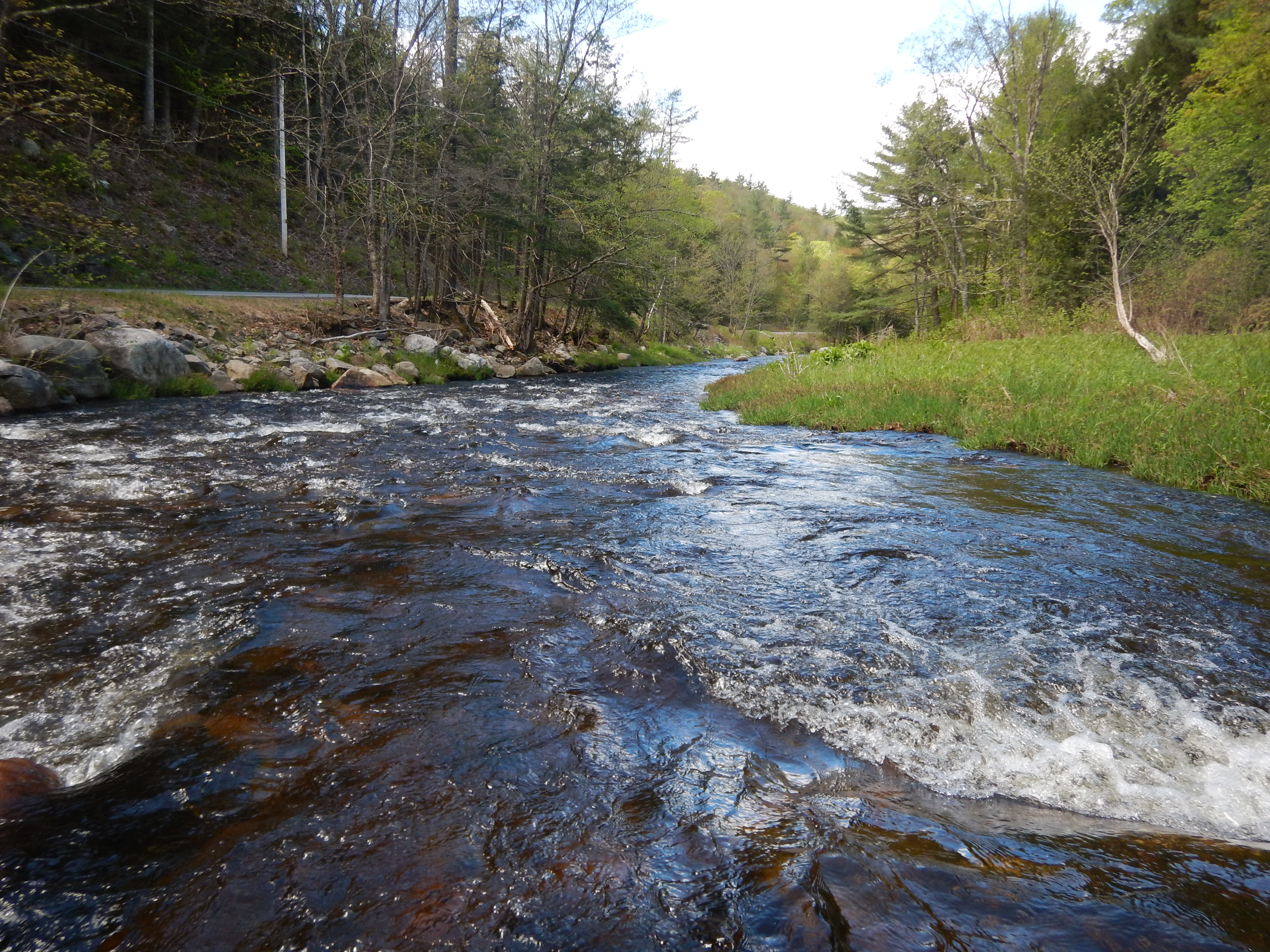
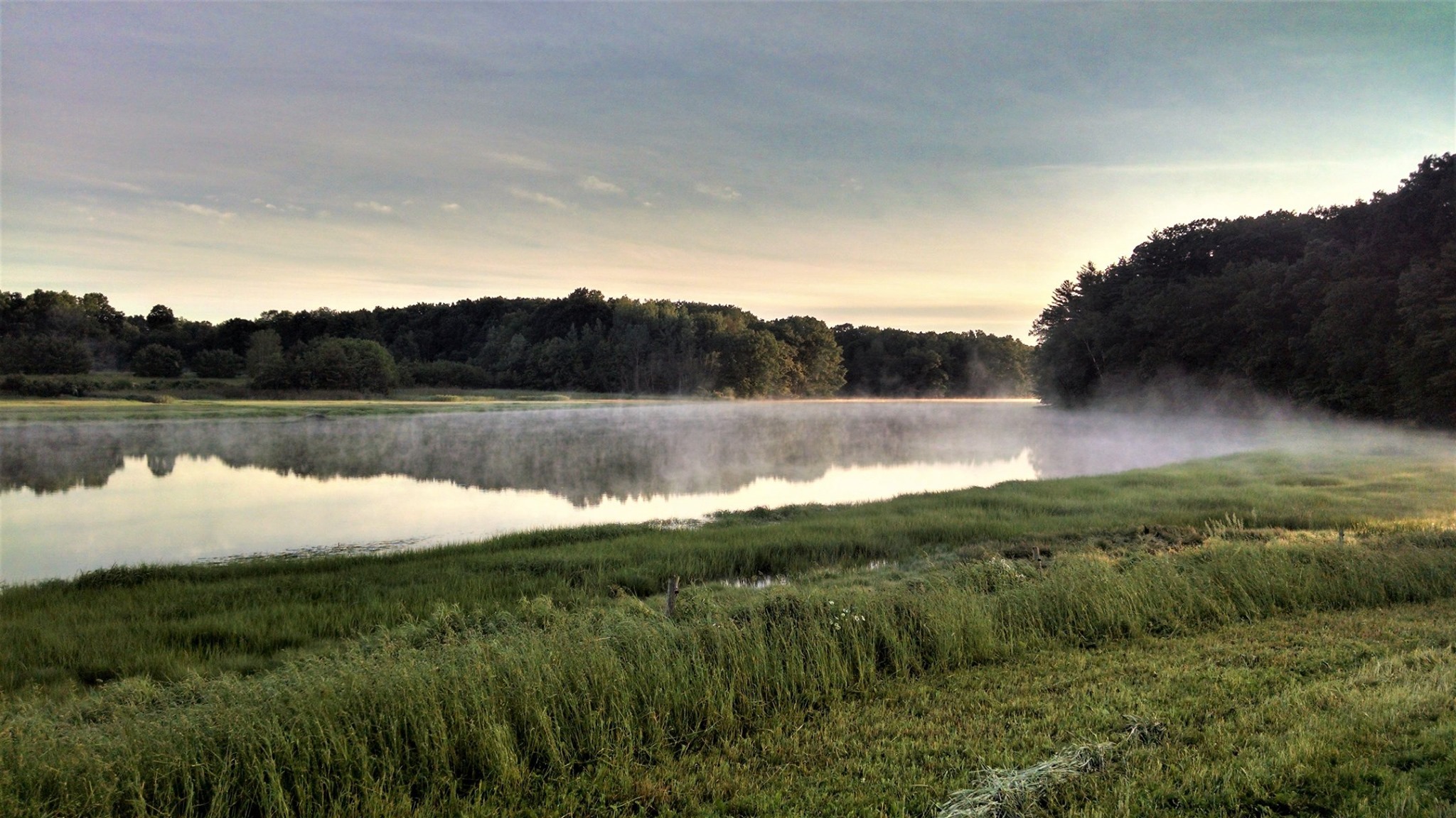
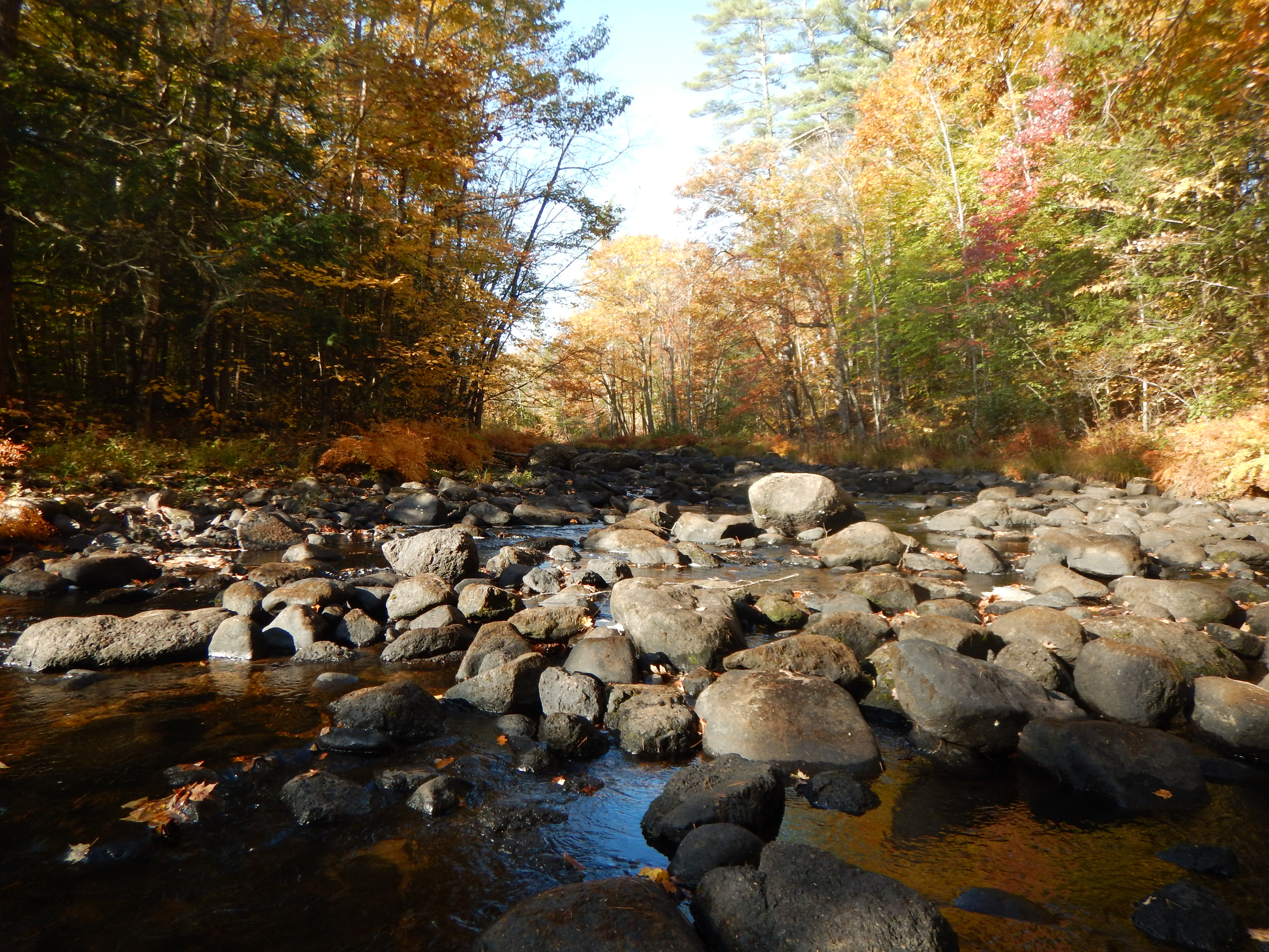
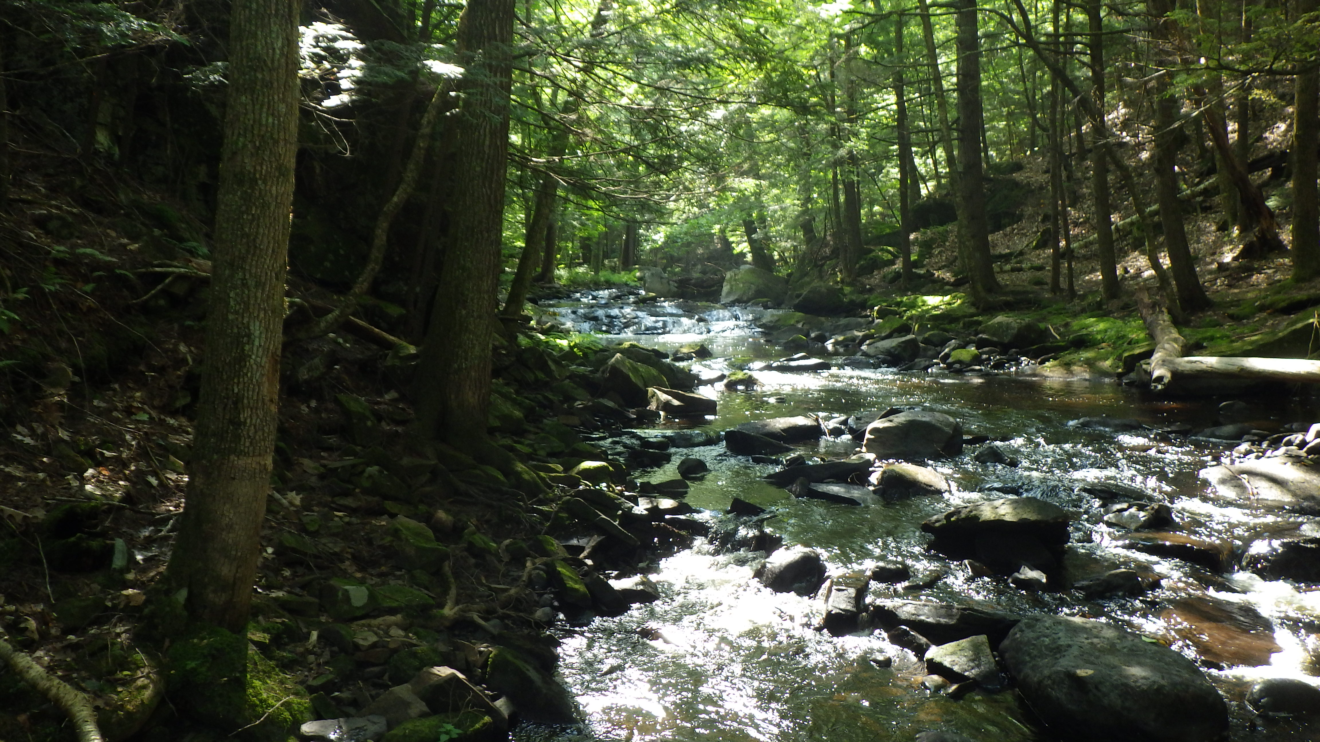
Designated Rivers
A designated river is managed and protected for its outstanding natural and cultural resources in accordance with RSA 483, the Rivers Management and Protection Act. At the request of the local communities through which they run, 19 of New Hampshire’s rivers have been recognized by the state legislature and the governor for their important natural resources, historical significance and their contribution to our quality of life. Each designated river has a local river management advisory committee to facilitate communication among the municipalities along the river in the management of their shared resource, develop a river corridor management plan to guide river protection efforts, and provide local input into state management of their river.
- Number of Designated Rivers: 19
- Total Designated Miles: 1010
- Participating Communities: 125
- Unincorporated Places and State Parks: 5
Click on a designated river below to find further information about each one. Please contact us for archived river nomination documents.
The Ammonoosuc River
The lower reaches of the Ammonoosuc River were designated into the Rivers Program in 2007, while the upper reach was added to the designation in 2009. The Ammonoosuc River flows 60 miles from the Lake of Clouds in Sargent’s Purchase to the confluence with the Connecticut River in Haverhill.
 The Ashuelot River
The Ashuelot River became recognized as a state designated river in 1993, in part for the highly valuable wildlife habitat identified in the watershed by the U.S. Fish and Wildlife Service. The river flows 64 miles, originating from Butterfield Pond in Washington and traveling to the confluence with the Connecticut River in Hinsdale.
The Cocheco River
The Cocheco River was designated in 2009. It flows 35 miles from March’s Pond in New Durham, traveling southwest to the head of the tide at the Central Avenue dam in Dover.
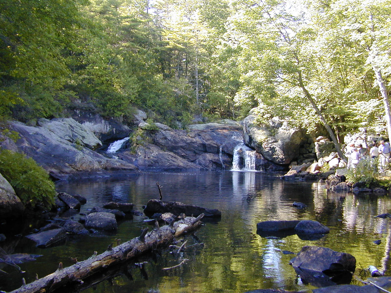
The Cold River
The Cold River was designated in 1999. It travels 24 miles, plunging almost 1,000 feet on its journey from the outlet of Crescent Lake in Acworth to its confluence with the Connecticut River in Walpole. A protected instream flow study is currently underway on the Cold River. More information about this study is available on the Instream Flow Program page.
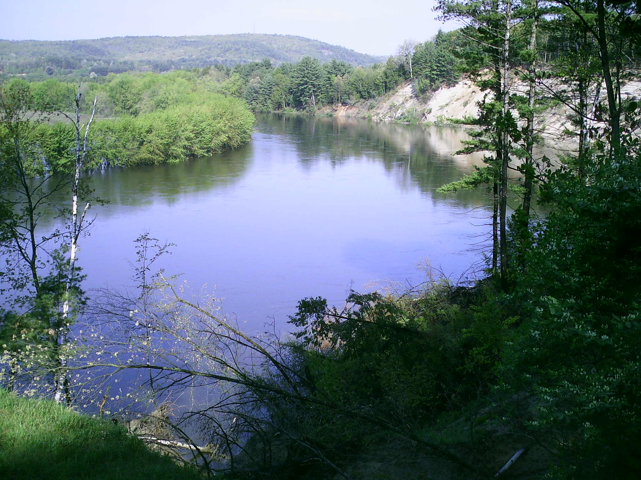
The Connecticut River
The Connecticut River was designated in 1992. It is 255 miles long and travels from the outlet of the Fourth Connecticut Lake to the New Hampshire/Massachusetts state line. It is split into five sections, each with its own subcommittee: Headwaters, Riverbend, Upper Valley, Mount Ascutney, and Wantastiquet.
The Contoocook and North Branch Rivers
The Contoocook and North Branch rivers were designated in 1991. The Contoocook River flows north for 71 miles from Poole Pond in Rindge to its confluence with the Merrimack River in Concord. The North Branch River travels 16 miles from the outlet of Rye Pond in Stoddard to its confluence with the Contoocook River in Hillsborough.
The Exeter-Squamscott River
The Exeter and Squamscott are a single river. The Exeter River is the freshwater segment, while the Squamscott River is the tidally-influenced segment. Most of the Exeter River was designated in 1995. In 2011, the lower segment of the Exeter River and the Squamscott River were added to the designation. The river flows 39 miles from its headwaters in Chester into Great Bay.
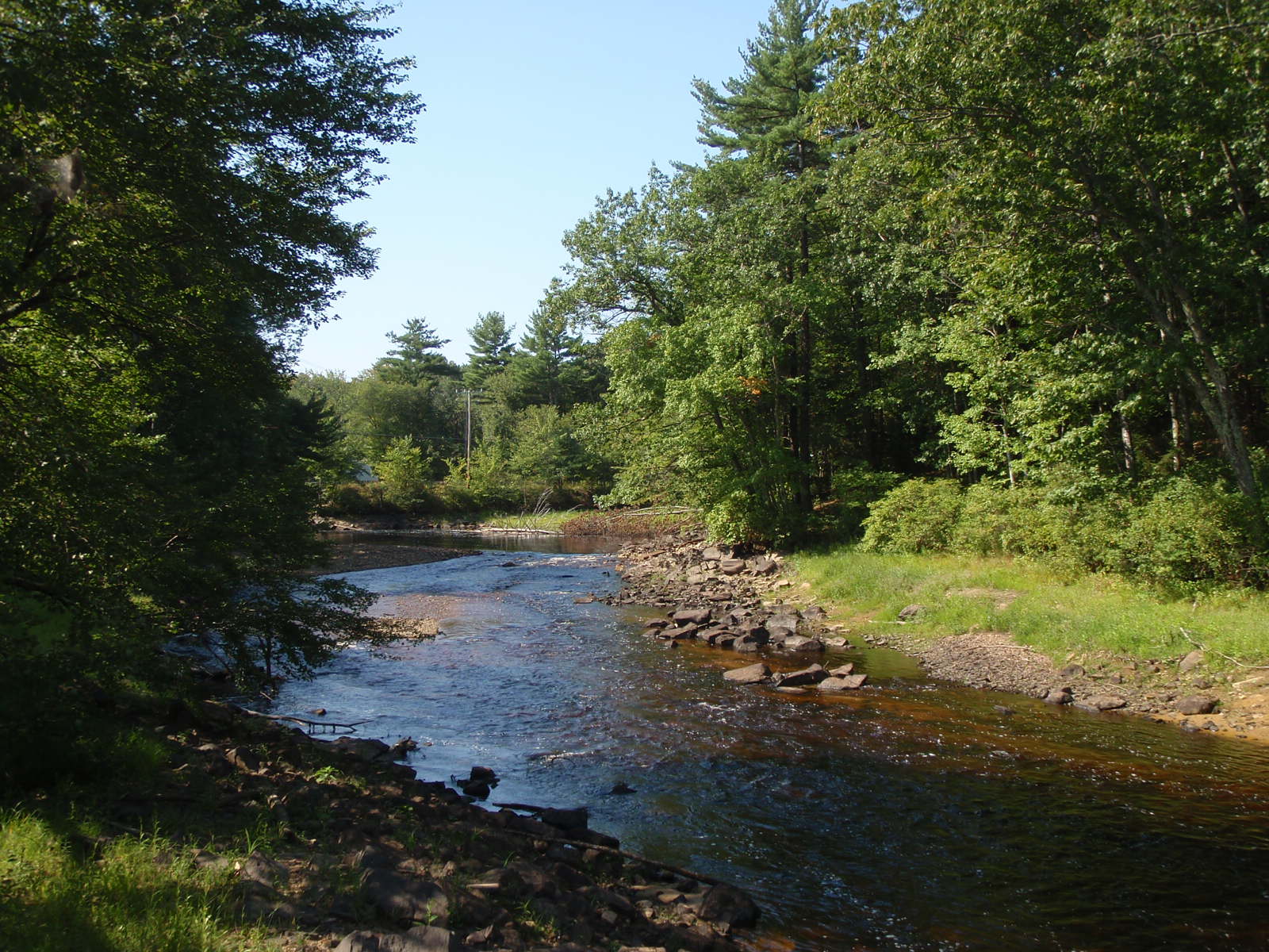
The Isinglass River
The Isinglass River was designated in 2002. The river originates at the outflow of Bow Lake in Strafford and flows 18 miles to its confluence with the Cocheco River in Rochester.
The Lamprey River
The 12-mile segment of the Lamprey River main stem in Lee and Durham was one of the first rivers designated in 1990. In 2011, five tributaries and the Lamprey River headwaters totaling 78 additional river miles, were added to the designation. The tributaries designated are the North Branch River, North River, Little River, Pawtuckaway River, and Piscassic River.
The Lower Merrimack River
The Lower Merrimack River was one of the first five rivers designated in 1990. The 15-mile designated section spans from the Bedford/Merrimack town line to the New Hampshire/Massachusetts state line. This is one of two segments of the Merrimack River that is designated.
The Mascoma River
In 2011, 25 miles of the Mascoma River was designated into the Rivers Management and Protection Program. The designated portion of the rivers extends from the Canaan Street Lake tributary in Canaan to its confluence with the Connecticut River in West Lebanon.
The Oyster River
The freshwater portion of the Oyster River was designated in 2011. The 14-mile section of river spans from the Hall Road Bridge in Barrington to the Mill Pond Dam in Durham.
The Pemigewasset River
The Pemigewasset River, with the exception of a 10-mile segment in Lincoln and Woodstock, was designated in 1991. The entire river is 70 miles long, beginning at the outlet of Profile Lake in Franconia Notch State Park and ending at its confluence with the Winnipesaukee River in Franklin, where the two rivers join to become the Merrimack River.
The Piscataquog River
The Piscataquog River and its three branches, the South, Middle, and North, were designated in 1993. The branches, which begin at the outlets of Pleasant Pond in Francestown, Scobie Pond in Francestown, and Deering Lake in Deering, respectively, and the river’s mainstem flow a total of 63 miles to the Merrimack River in Manchester.
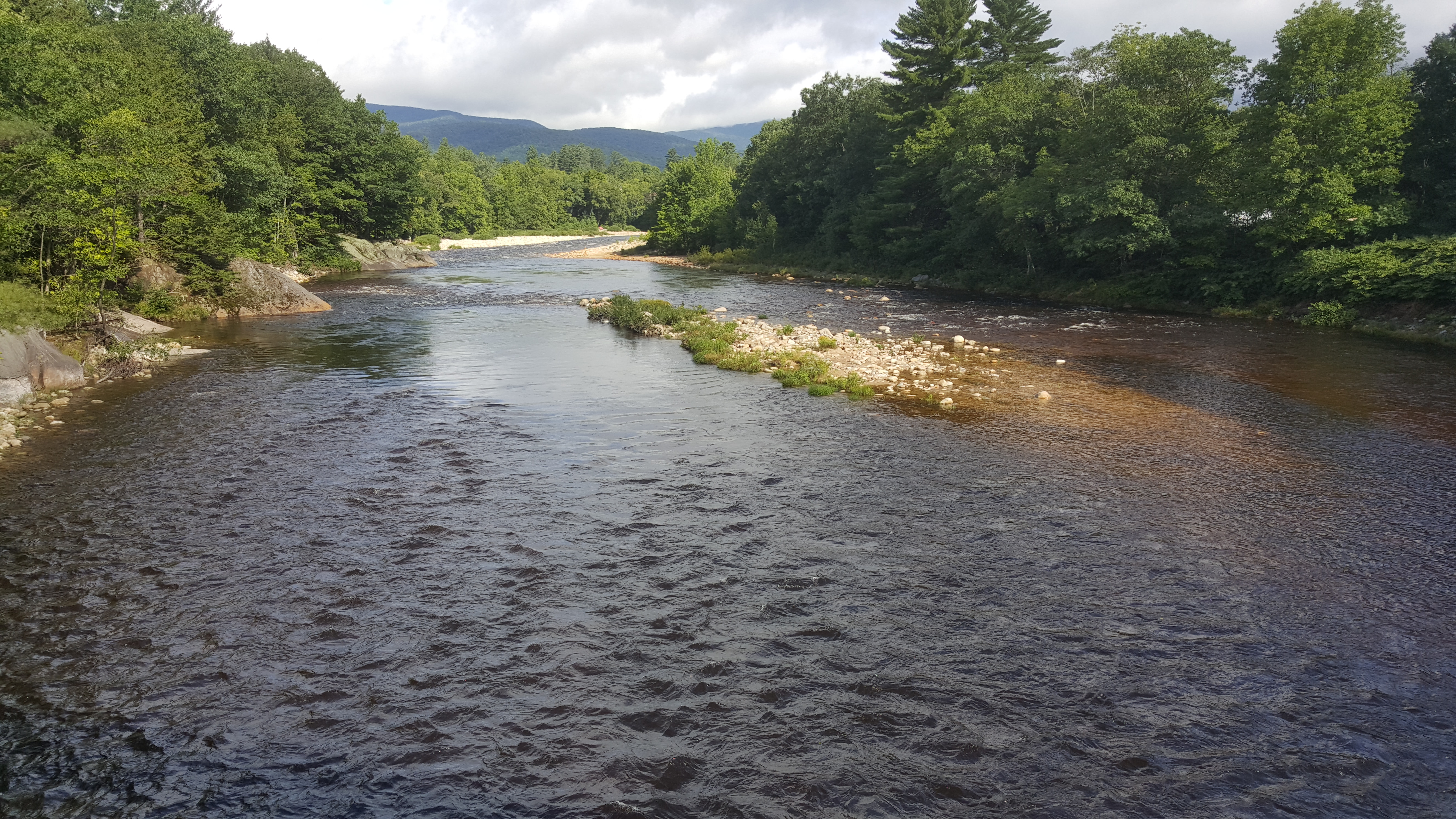
The Saco River
The Saco River was one of the first five rivers designated in 1990. It flows for 40 miles and drops approximately 1,500 feet in elevation in its journey from the outlet of Saco Lake in Crawford Notch State Park to the New Hampshire/Maine state line.
The Upper Merrimack River
One of the first five rivers designated in 1990, the Upper Merrimack River flows 30 miles from the confluence of the Winnipesaukee and Pemigewasset rivers in Franklin to Garvins Falls in Bow.
The Souhegan River
The Souhegan River was designated in 2000. It flows approximately 34 miles from the confluence of the river’s south and west branches in New Ipswich to the confluence with the Merrimack River in Merrimack.
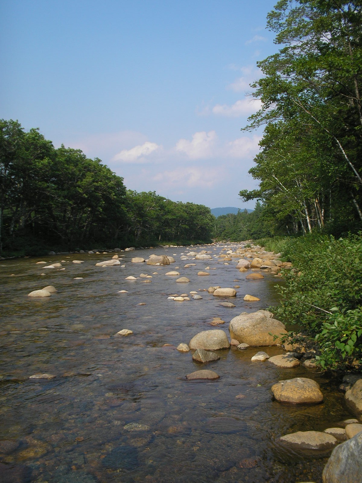
The Swift River
The Swift River was among the first rivers designated in 1990. It flows 26 miles from its headwaters in Livermore to its confluence with the Saco River in Conway, dropping more than 2,400 feet in elevation.
The Warner River
The Warner River is the most recent addition to the Rivers Management and Protection Program, designated in 2018. The designation begins at the West Branch of the Warner River in Bradford, flows one mile to the headwaters of the Warner River, and then flows another 19 miles to the Contoocook River in Hopkinton.
Volunteer assessment assists NHDES’ evaluations
NHDES Volunteer River Assessment Program (VRAP) promotes awareness of the importance of maintaining water quality in New Hampshire’s rivers and streams. VRAP coordinates a regular volunteer-driven water quality sampling program to assist NHDES in evaluating river water quality throughout the state.