


River and Lake Monitoring
Monitoring water quality and reporting on the condition of New Hampshire’s lakes and rivers.
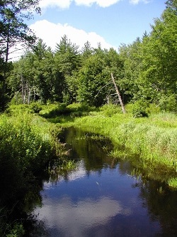 NHDES is committed to monitoring and reporting on the condition of the state's surface waters.
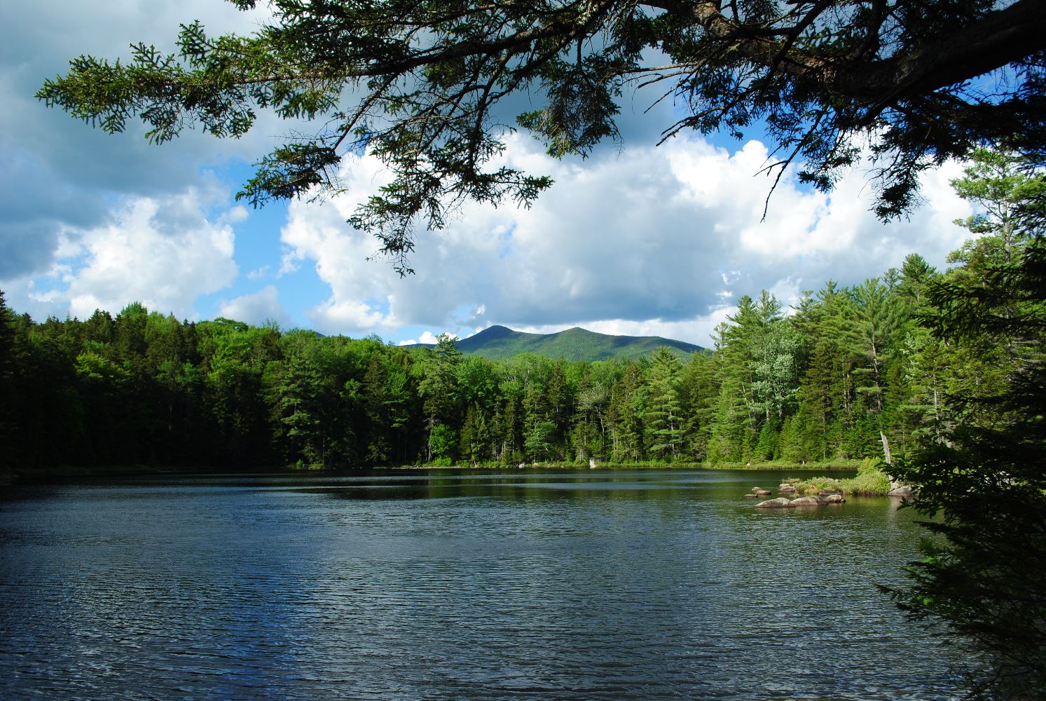
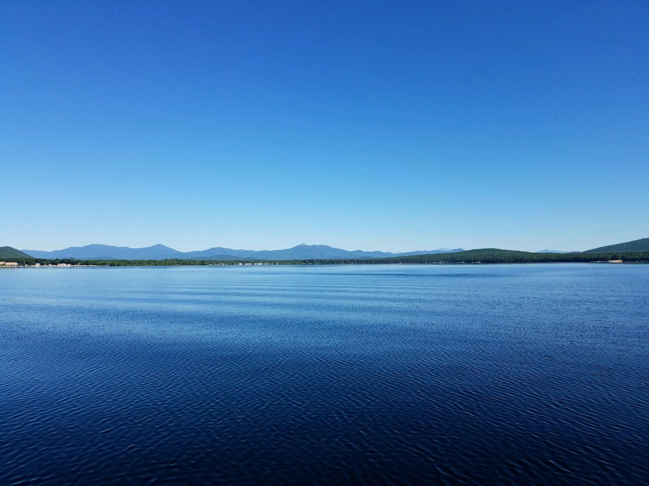
The department has sampled over 400 rivers and 600 lakes looking to answer the question: Are New Hampshire’s rivers and lakes clean? The results of these efforts are contained in a variety of reports, summaries, and interactive maps.
The NHDES Water Monitoring Strategy details the agency’s approach to monitoring the state’s water bodies. The strategy includes three primary design components: probability-based monitoring, trend monitoring and synoptic monitoring.
The Watershed Management Bureau at NHDES is home to a variety of surface water quality programs. Each year a workload report documents these programs, the activities within the Jody Connor Limnology Center (JCLC), as well as the quantity and quality of the data that is collected. View the most recent report.
If you’d like to obtain data for a lake or river or other environmental monitoring, please send us an email.
Biological Monitoring
The Biomonitoring Program assesses the biological health and integrity of aquatic ecosystems throughout the state. The efforts are consistent goals expressed in the Federal Clean Water Act; to preserve, maintain and restore the physical, chemical and biological integrity of our nation's waters.
View our biomonitoring reports
Volunteer River Assessment Program (VRAP)
The focus of NHDES Volunteer River Assessment Program (VRAP) is to promote awareness and education of maintaining water quality in New Hampshire’s rivers and streams. VRAP coordinates a regular volunteer-driven water quality sampling program to assist NHDES in evaluating river water quality throughout the state.
Check Out Our Interactive Maps:
Surface Water Quality Assessment
- Spatial extent of assessment units.
- Sampling data locations.
- Access the Watershed Report Cards (a.k.a. 305(b)/303(d) assessment info).
- Run reports to access water quality data summaries used in the assessment process.
- View the extent of the EPA's 2017 MS4 General Permit Areas.
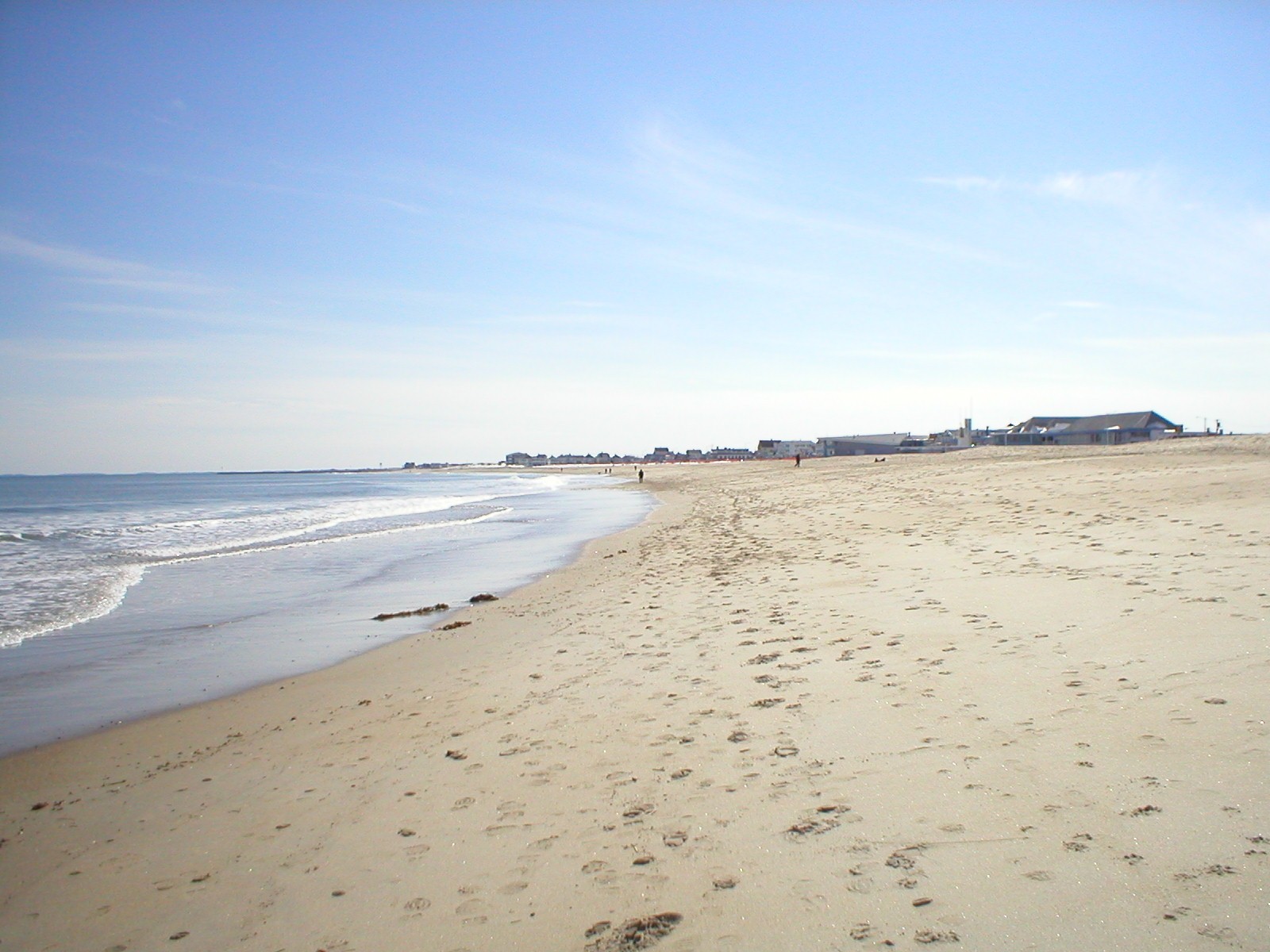
Find areas for shellfish harvesting and beach going
The Coastal Atlas is a tool to show information on shellfish bed closures, beach advisories and coastal public access in an easy-to-use format.
- Shellfish bed closures.
- Beach advisories.
- Coastal public access.
Water quality information of individual waterbodies
- Trophic studies.
- Lake TMDLs.
- VLAP reports.
- Ice cover history.
- Cyanobacteria bloom history.
- Watershed-based plans on lakes.
- Diagnostic feasibility studies.
- Invasive aquatic species information.