


Flooding
Flooding is New Hampshire's most common and costly natural disaster.
 As flood events occur more frequently in New Hampshire, staff within the New Hampshire Geological Survey (NHGS) and Dam Bureau at NHDES are working to build tools and techniques to support local communities so that they may best plan for these events before they occur, and respond to them when they do. New Hampshire’s work on flooding hazards relies on partnerships among programs across state and federal government, and with local communities statewide.
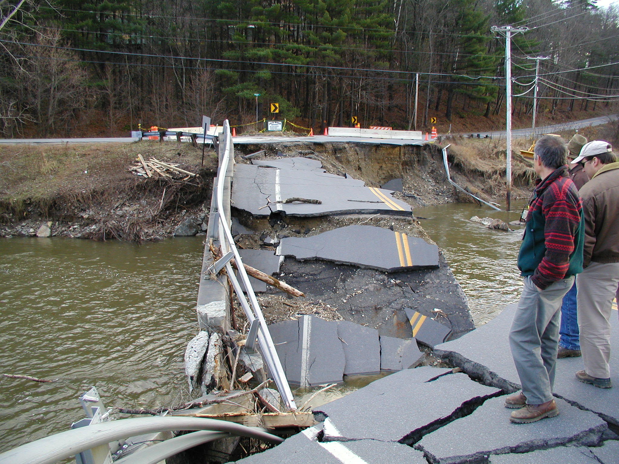
After a culvert failure in a flood in 2005 in Alstead, N.H., resulting in extensive damage and the loss of seven lives, the State of New Hampshire embarked upon the ambitious goal of assessing every culvert in the state to identify those at greatest risk for failure. Partnerships were formed in order to pool the resources and expertise needed to achieve this goal. NHGS leads a State Stream Crossing Steering Team that includes the NHDES Wetlands Bureau, New Hampshire Fish & Game, Department of Transportation, Homeland Security and Emergency Management, and the Technology Transfer Center at the University of New Hampshire. NHGS ensures the quality of all data placed into the statewide database, conducts yearly training of all data collectors, and scores culverts for their level of flood risk.
LiDAR elevation data, the National Hydrography Dataset, and depth to bedrock maps are among the significant information resources available to support these team efforts. NHGS works with experts in other units of NHDES and across state and federal government to continually improve these key datasets.
Additionally, NHDES has used the science of fluvial geomorphology (the study of how rivers erode and move within their floodplains) to address flood hazards since circa 2005. As a result, data regarding the fluvial geomorphologic condition of 400 miles of rivers in the state were collected during the early 2010s. The application of this science has since been integrated into the process of flood response and recovery, helping NHGS assist communities recovering from flood-induced river erosion concerns. Fluvial geomorphology data can be obtained by contacting NHGS.
Emergency Work on River Beds and Banks After a Flood Event
High flows and floods can cause bank erosion and changes in river and stream beds that pose significant hazards to bridges, culverts and nearby structures. In the event that banks and/or channels require immediate stabilization or restoration to protect infrastructure, a post-flood Emergency Authorization is required from the Wetlands Bureau before any work can begin. Further information can be found in this Emergency Authorization fact sheet.
Partner Agencies
Related Content
Silver Jackets
New Hampshire Silver Jackets is a 14-member team of state and federal agencies working to build expert tools, develop guidance and provide support on flood issues.
Ice Jams
Ice jams are winter flood hazards in New Hampshire. NHGS and the Dam Bureau are available to assist local community officials when ice jams occur.