


Land Development
Land development can change the quality and quantity of stormwater runoff into streams, lakes and ponds.
 In natural environments, stormwater filters as it flows over native vegetation, and then through soils, before it reaches groundwater. Stormwater runoff from land development (including active construction sites) is a leading cause of water pollution nationally and the leading cause in New Hampshire. Stormwater can become polluted when it flows through streets, lawns, farms, construction sites and industrial areas. Risks for pollution rise higher when substances such as fertilizers, sediment (small soil particles), pesticides or oils are along the water's path.
If stormwater is left untreated, the pollutants it introduces can impact drinking water supplies, stream health, and aquatic and land-based wildlife. Unregulated land development can also increase the amount and rate of stormwater runoff which, in turn, can contribute to flooding in other areas.
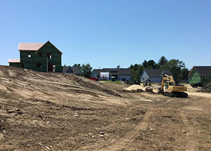
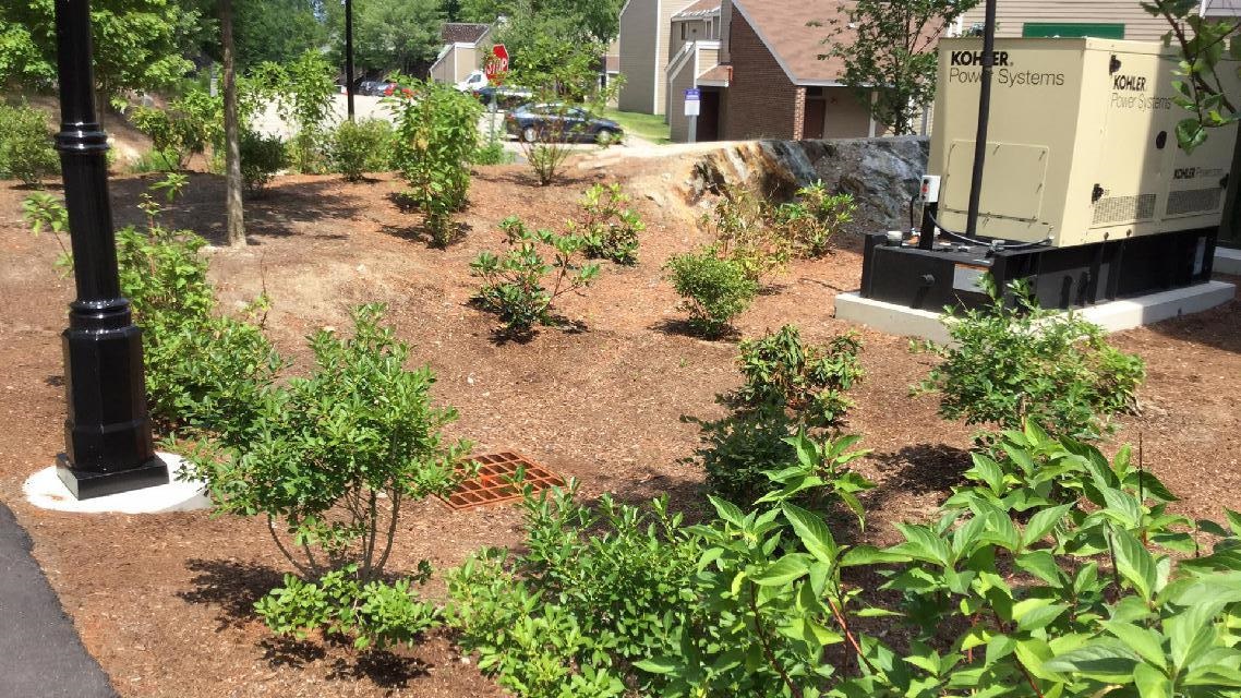
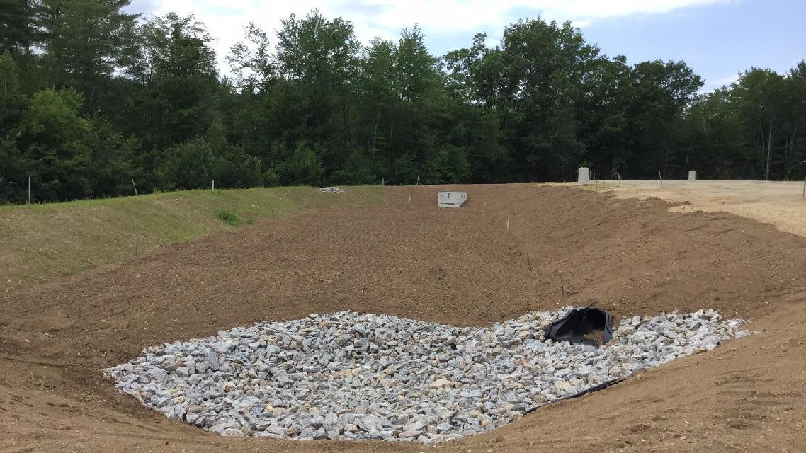
Alteration of Terrain (AoT) permitting helps regulate stormwater control and treatment on larger sites. It helps govern "earth-moving" operations, such as gravel pits, as well as industrial, commercial and residential construction. Treatment options can be biological or physical. Management methods include rain gardens, infiltration ponds, gravel wetlands and other best management practices.
Other controls that help avoid increasing water runoff from land development sites include detention ponds and underground storage facilities. The same structures that provide treatment can also be used to store and control the rate of runoff.
Alteration of Terrain permits are required if a project proposes to disturb more than 100,000 square feet of contiguous terrain (50,000 square feet, if any portion of the project is within a protected shoreland). Disturbances greater than 2,500 square feet, over terrain with grades of greater than 25%, may also require these permits. AoT "General Permits by Rule" apply to smaller sites, which do not require applications or notifications.
- September 2021 Update! Revised Best Management Practices (BMP) Worksheets
Statutes and Rules
Related Content

To apply for a permit, or to view permit options, visit the Alteration of Terrain Permit Forms and Applications area of NH Online Forms. This area includes amendment request forms, start and stop construction forms and more.
We also offer applicants our Best Management Practice Worksheets and schedule of fees.
Publications and guidance
- Northeast Regional Climate Center Precipitation Data
- Atlas 14 (NOAA, National Weather Service)
- Sea-level Rise, Storm Surges, and Extreme Precipitation in Coastal New Hampshire: Analysis of Past and Project Future Trends
- UNH Stormwater Center (UNHSC) Subsurface Gravel Wetland Design Specifications
- UNHSC Porous Asphalt Pavement and Infiltration Beds Specifications
- UNHSC Bioretention System with Internal Storage Reservoir Specification
- UNHSC BMP Maintenance Checklists
- NRCS Web Soil Survey
- Site Specific Soil Mapping Standards for New Hampshire and Vermont
- Ksat Values for New Hampshire Soils
- Vegetating New Hampshire’s Sand and Gravel Pits
- NH Fish & Game Requirements Fis 1000
Resources to help applicants
The following tools and templates will help when completing an AoT permit application:
Did you know?
Did you know?
The progress of an application can be tracked by conducting a NHDES OneStop Alteration of Terrain Permitting Query.
Stormwater Manual
The New Hampshire Stormwater Manual is suggested as guidance when an AoT permit is NOT required. If there are conflicts in the manual and AoT rules, the rule requirements take precedence.
Subdivisions
Subdivision approval is required for lots under or being reduced to under 5 acres. Subdivision applications require a permitted septic designer and a licensed land surveyor, and can be submitted on OneStop.
Waterfront Development
The subdivision, use and development of shorelands adjacent to the state's public waters is regulated under the Shoreland Water Quality Protection Act (RSA 483-B).